
The context
In a land surveying firm, every boundary or subdivision case requires notice letters, information sheets and a survey report. The information needed is scattered across the case sheet, the quote, the cadastral maps, the land registry records and the archives. Everything was re-entered by hand, case after case.
There was a strong constraint: these files contain the owners' personal details. Sending them to an online service was out of the question.
What we delivered
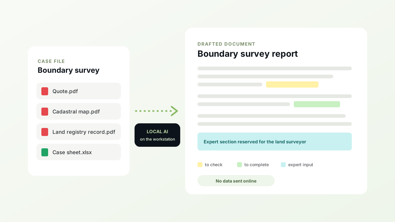
An assistant installed on the firm's workstation, which reads the case file and drafts the Word documents.
- It reads the whole case fileCase sheet, quote, cadastral maps, contact directory, land registry records, archives and photos.
- It drafts the noticesOne letter and one information sheet per recipient.
- It writes four types of reportsBoundary survey, subdivision, public boundary delimitation, and boundary verification and restoration.
- The AI runs locallyMaps and scans are read by a model installed on the workstation. No case file ever leaves the firm.
- It never makes anything upWhatever it cannot find, it asks for or highlights in the report. Expert sections remain reserved for the surveyor.
- It remembers the answersInformation confirmed once is never asked again for that case.
How we worked
The project was delivered in weekly sprints, with a demo at each step. A first version covered the notices and survey reports, then an update in October 2026 added the reading of land registry records (personal details, cadastral addresses, plot areas).
The results
The firm no longer writes its documents, it reviews them. The time saved is estimated at up to 2 days of work per week, and the surveyor keeps their time for expert work.